Listen to this story 9:29
Jump to a section
Read aloud by an AI voice (ElevenLabs) from the story on this page, which is the full transcript. Tables and maps are summarized in the audio.
Austin City Council holds a public hearing today, Oct. 22, on Item 49: whether to hand 121,156 square feet of Country Club Creek West Greenbelt in Southeast Austin to the city's transportation department for a four-lane road. According to ATX Things' read of the council packet, the Parks and Recreation Board did not recommend approval last month, and a city presentation says two people came to the project's two public open houses.
Quick answer. Item 49 asks Council to find, under Chapter 26 of the Texas Parks and Wildlife Code, that there is "no feasible and prudent alternative" to using the parkland. If it passes, Transportation and Public Works pays Parks $1,368,050 and builds a roughly 970-foot link between South Pleasant Valley Road and Burleson Road. Construction is tentatively set for spring 2027. We have not seen the outcome; this was written before the meeting.
What is Council being asked to approve today?
A resolution. The posting language on the Oct. 22 agenda reads: conduct a public hearing and "consider a resolution authorizing a change in use of dedicated parkland, known as Country Club Creek West Greenbelt, to permanently use approximately 121,156 square feet of parkland in order to construct, operate, maintain, and repair roadway and associated improvements." The item is in District 3.
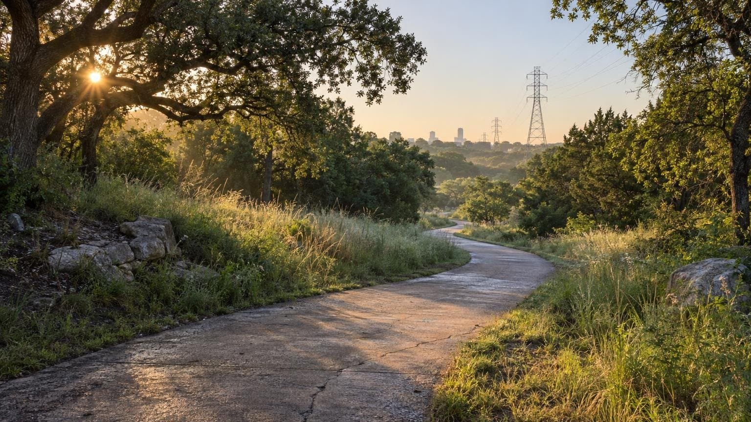
The land is listed in the city's agreement between Parks and Transportation as the greenbelt at 3109 Burleson Rd.
The council meeting convenes at 10 a.m. Item 49 sits in the agenda's public-hearings block, which the agenda places ahead of the 12 p.m. general public communication. It has no stated time, and councils reorder items, so check the live agenda before you plan a trip downtown.
How much parkland is that, and what does the city pay?
The city's own numbers, from the Sept. 28 Parks Board presentation and the agreement attached to the agenda:
| Figure | Amount | Source |
|---|---|---|
| Parkland to be permanently used | 121,156 sq ft (about 2.8 acres, our conversion) | Council agenda, Item 49 |
| Full greenbelt parcel | 2,223,738 sq ft | Parks Board presentation, Sept. 28 |
| Parkland left after the change | 2,102,582 sq ft | Parks Board presentation, Sept. 28 |
| Value of the permanent use | $1,475,787 | City parkland agreement (draft) |
| Park improvements credited against it | $107,735 | City parkland agreement (draft) |
| Mitigation payment to Parks | $1,368,050 | Council agenda, Item 49 |
By our arithmetic the taken land is about 5% of the parcel. The city says the payment has no effect on the General Fund; the money moves from the transportation department's capital budget to the Parks capital budget.
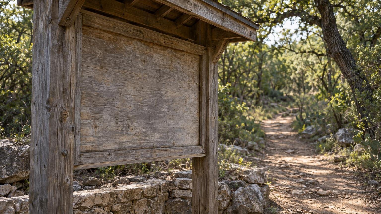
The credited improvements are a bike trail connection, a shared-use path west of Burleson, a restored trailhead kiosk and a new trail sign.
What road is this, exactly?
It is the last gap in the South Pleasant Valley Road corridor. The city's presentation describes a gap of about 970 feet between South Pleasant Valley and Burleson Road, which the project's public page rounds to a 0.1-mile extension "just north of Ben White Boulevard." Voters approved the project in the 2020 Mobility Bond, the presentation says.
The planned road has four lanes of 10.5 to 12.5 feet with 14-foot grass medians, sidewalks, 12-foot shared-use paths, a traffic signal at Burleson Road, storm sewer and new trees. The city says the work touches about 5 acres inside the construction limits. The project page says the extension follows the Country Club Creek Trail and includes transit-priority treatments.
The state law behind this is not a formality. Chapter 26 lets a city use parkland for a non-park purpose only on findings that there is no feasible and prudent alternative and that all reasonable planning has been done to minimize harm. Council has to say both out loud in the resolution.
What alternatives did the city consider?
Three alignments. The preferred one, Alignment A, runs about 720 feet along an existing utility corridor beside the Country Club Creek Trail. The presentation says it uses already-disturbed ground and is the most direct connection.
Alignment B would cross two parks parcels of roughly 600 feet and then four private parcels of about 750 feet to reach the Mission Hill and Burleson intersection. Alignment C would cross four parks parcels of roughly 1,450 feet and two private parcels of about 575 feet, to reach SH 71 and Burleson. The city calls C the least feasible. We have not seen the underlying engineering for any of the three; these descriptions come from the city's slides.
What did the Parks and Recreation Board say?
On Sept. 28 the board voted 8-0 on Recommendation 20260928-004. The recommendation, as the city summarizes it, says the board "was unable to recommend approval of this project absent additional information regarding community involvement" and asks Council to "carefully consider unaddressed community outreach and traffic impact issues."
The outreach record in the city's presentation is thin. Open houses were held June 23 at the Ruiz Branch library and June 27 at the project site. Two people attended. Comments were about parking, future bus service and where garbage pickup would sit near the kiosk. The project team says it is also coordinating with the East Riverside/Oltorf Combined Neighborhood Plan, Austin Ridge Riders and the Austin Parks Foundation.
We have not confirmed what any of those groups think of the plan, and we have not walked the site.
When would anything change on the ground?
If Council approves, the presentation says the project is in final design and waiting on a Site Development Permit this fall. Bidding is tentatively set for winter and construction for spring 2027, lasting about a year. The draft agreement gives an estimated start of May 2027, a 365-day parkland use and an estimated reopening to the public in May 2028, pending restoration and sign-off.
Per the draft agreement, the transportation department has to detour the Country Club Creek Urban Trail "when safe and practical" and post notice at least seven days before a detour starts. These are planning dates, not commitments.
Dates in the city packet are tentative and the agreement is a draft with blank approval dates. If Council amends or delays Item 49, none of this holds. Check the council meeting page for the result.
How can you weigh in today?
The city allows public comment in person or by phone, and you can register for an item once. Instructions and the speaker rules are on the city's Council Meeting Information Center. The agenda backup, including the draft resolution, the agreement, the city's survey and the staff recommendation, is on the Oct. 22 meeting page.
Project questions go to the corridor team at Corridors@AustinTexas.gov or 512-974-2300, per the project page.
What else is on today's agenda?
Two items that touch daily life. Item 6 is an ordinance that would require kennel operators to make their outdoor spaces escape-proof and create an offense and penalty. Item 50, a rezoning hearing for 1125 and 1127 West 6th Street, is in the 2 p.m. zoning block.
If you ride or run the greenbelt trails, our Barton Creek and Greenbelt flows page tracks conditions, and the last cool-weekend greenbelt guide covers the hiking side. For other items Council has handled lately, see our piece on the legacy business payments.
FAQ
Is the Country Club Creek West Greenbelt being sold? No sale is on the agenda. The resolution authorizes a permanent change in use of 121,156 square feet of dedicated parkland for roadway purposes, with a payment to Parks.
Where is the road going? Between South Pleasant Valley Road and Burleson Road in Southeast Austin, a gap of about 970 feet by the city's presentation, near Ben White Boulevard.
Will the Country Club Creek Trail close? The draft agreement calls for a detour when safe and practical, with notice seven days ahead. The presentation says park and trail access will be maintained and coordinated during construction. Exact closure dates have not been published in the packet we read.
Did the Parks Board approve it? No. It voted 8-0 on Sept. 28 on a recommendation that did not endorse the project and asked Council to consider unaddressed outreach and traffic questions.
When would construction start? Tentatively spring 2027, lasting about one year, per the city's presentation.
Sources: Austin City Council agenda and backup for Oct. 22, 2026 (Item 49, file 26-2807); Austin Parks and Recreation Board presentation, Sept. 28, 2026; City of Austin South Pleasant Valley Road project page. Read Oct. 22, 2026. No Google Places data was used.
Related Austin Data
More Austin Guides
Share this article