
801 connects two familiar corridors
CapMetro Rapid 801 follows North Lamar and South Congress via downtown and UT, linking Tech Ridge and Southpark Meadows. Use the current trip planner for stops and service.[1]
65 planning areas mapped
From Hyde Park's 1920s porches to the galleries and trailers of East Austin — what each part of the city is actually like, and where its boundary really runs.
Austin has no single official list of neighborhoods. What the city does publish is 65 Neighborhood Planning Areas — a zoning geography adopted area by area by council ordinance — and ATX Things maps all 65 of them. The source file holds 95 sub-district polygons that merge into those 65 named areas, and the city last modified it on September 22, 2021. City of Austin Neighborhood Planning Areas (opens in a new tab)
 Get to know another side
Neighborhood labels are useful for exploring, but a trip still needs an actual stop. Transit corridors and trail access points give this editorial guide concrete anchors.
3 linked sources · CheckedCapMetro Rapid 801 follows North Lamar and South Congress via downtown and UT, linking Tech Ridge and Southpark Meadows. Use the current trip planner for stops and service.[1]
Rapid 803 serves Burnet and South Lamar, connecting the Domain and Westgate via downtown and UT. It is a different route, even where the central portions overlap.[1]
The library at 710 West César Chávez Street has connections to the Butler Trail, Shoal Creek Trail and Lance Armstrong Bikeway. It is a concrete meeting point for a downtown outing.[2]
Rapid 801 serves the North Lamar–South Congress corridor. Rapid 803 instead follows Burnet–South Lamar. Check CapMetro for the exact stop and current service.[1]
Yes. The Trail Conservancy maps routes and individual access points. Choose a shorter segment or an out-and-back walk instead of the full ten-mile circuit.[3]
Local context is based on the sources below. Confirm current access, schedules, and reservations with the operator. Civic figures elsewhere on this page retain their own reporting periods.
Hand-picked by ATX Things editors. Not ranked, not scored, and not derived from the permit, inspection or receipts data on the boundary pages — this one is just taste.
Hyde Park Bar & Grill
Hyde Park
A 1920s house turned restaurant in Austin's first streetcar suburb — the giant fork out front is the landmark, the fries are the reason.
Plan your visit to Hyde Park Bar & Grill (opens a new tab)Avenue B Grocery & Market
Hyde Park
A corner grocery with a deli counter that has been trading in Hyde Park since 1909, and still feels like it.
Plan your visit to Avenue B Grocery & Market (opens a new tab)Fresa's
Bouldin Creek
Charcoal chicken eaten outdoors under live oaks, in one of the most walkable pockets south of the river.
Plan your visit to Fresa's (opens a new tab)Bouldin Creek Cafe
Bouldin Creek
All-day vegetarian breakfast and the kind of unhurried table that made this neighborhood what it is.
Plan your visit to Bouldin Creek Cafe (opens a new tab)Banger's Sausage House & Beer Garden
Rainey Street (inside the Downtown planning area)
A beer garden on Rainey with a very long tap list, in a bungalow that was somebody’s house before the towers arrived.
Plan your visit to Banger's Sausage House & Beer Garden (opens a new tab)Emmer & Rye
Downtown / Rainey Street
Dim-sum-style carts of seasonal small plates, milled grains, and the tasting menu people book a trip around.
Plan your visit to Emmer & Rye (opens a new tab)South Congress Avenue (SoCo)District, not a single venue
Straddles the Bouldin Creek and South River City planning areas
Roughly a mile and a half of boutiques, boot shops, hotel patios and murals. Busy from brunch to sunset; quieter and better on a weekday morning.
Plan your visit to South Congress Avenue (SoCo) (opens a new tab)East Austin arts corridorDistrict, not a single venue
East Cesar Chavez and Holly planning areas
Galleries, coffee, dive bars and food trailers threaded through a historically Mexican-American and African-American neighborhood that is changing fast.
Plan your visit to East Austin arts corridor (opens a new tab)North LoopDistrict, not a single venue
Brentwood / Highland planning areas
Four walkable blocks of vintage stores, records and a diner or two — the least polished of the shopping strips, which is the appeal.
Plan your visit to North Loop (opens a new tab)Sixth Street entertainment districtDistrict, not a single venue
Inside the Downtown planning area
Live music every night of the week and a street that closes to cars at weekends. East Sixth is the calmer, better-eating half.
Plan your visit to Sixth Street entertainment district (opens a new tab)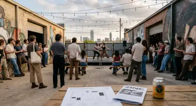
Your insider map to Fusebox Festival 2026—unexpected venues, pop‑ups, and smart April arts plays across Austin.
Read the story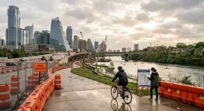
Austin’s I‑35 Cap & Stitch faces a May 2026 funding deadline. Here’s the real timeline, park deck plans, trail impacts and insider takeaways.
Read the story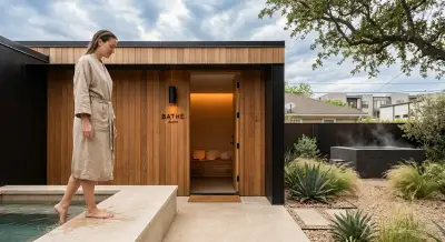
How BATHE Austin pairs guided sound sessions with soaking garden access on East Cesar Chavez—plus insider tips before you book.
Read the story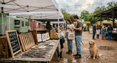
Your insider guide to the April 11 Makers Market at Thicket Austin—vendors, timing strategy, parking intel & why this South First pop‑up matters now.
Read the story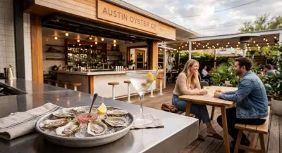
Exclusive look at Austin Oyster Co’s March 31 opening on East Cesar Chavez—menu intel, design details, sourcing secrets & how it compares to Clark’s.
Read the story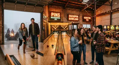
Duckpin bowling, pinball, live music & food collabs—your insider guide to Pins Mechanical Company in Austin’s St. Elmo district.
Read the storyAustin has no single official list of neighborhoods. What the city does publish is 65 Neighborhood Planning Areas — a zoning geography adopted area by area by council ordinance — and ATX Things maps all 65 of them. The source file holds 95 sub-district polygons that merge into those 65 named areas, and the city last modified it on September 22, 2021.
Because they are not planning areas. The City of Austin's boundary file has no feature called SoCo, Rainey Street or Sixth Street — those districts sit inside a planning area, or straddle two. South Congress runs along the edge of the Bouldin Creek and South River City areas; Rainey Street and Sixth Street are both inside Downtown. We map the 65 boundaries the city actually publishes and write about the districts here instead of inventing a boundary for them.
For a first visit: South Congress for shopping and hotel patios, East Austin for bars, galleries and food trailers, Rainey Street for a compact bar crawl in converted bungalows, Hyde Park for a quiet walk and a long breakfast, and Sixth Street for live music. That is our editorial pick, not a ranking derived from data.
East Austin is the part of the city changing fastest — longtime Mexican-American and African-American community institutions alongside galleries, craft cocktail bars, acclaimed restaurants and boutique hotels. East 6th Street and East Cesar Chavez are its main corridors, and both sit inside the East Cesar Chavez and Holly planning areas.
Each of the 65 planning-area pages queries the public record for that exact boundary: building permits from City of Austin Development Services, restaurant inspections from Austin Public Health, mixed-beverage filers from the Texas Comptroller, and registered projects from the Texas Department of Licensing and Regulation. Quiet areas legitimately come back with little or nothing, and those pages say so rather than filling the space.
The first thing worth knowing is that Austin's neighborhood names and Austin's neighborhood boundaries are two different systems. The names people use — SoCo, Rainey, Clarksville, Mueller, East Sixth — come from habit and history. The boundaries come from the 65 Neighborhood Planning Areas the city adopted area by area, by ordinance, as a zoning geography. Most of the famous names sit inside one of those areas, or straddle two. Our boundary pages use the city's geography; this guide uses the names.
Hyde Park was Austin's first planned suburb, laid out in 1891 and reachable by streetcar; the porches, the bungalows and Avenue B Grocery are what survived. Bouldin Creek and North Loop are its south and north cousins — walkable, low-rise, and heavy on independently owned storefronts. If you want to understand what people mean by “old Austin”, those three are where to walk.
South Congress and Rainey Street are the two districts most likely to be on a first visit's list, and both have changed enormously in a decade. South Congress runs roughly a mile and a half south from the river, dense with boutiques and hotel patios. Rainey is a single street of former bungalows turned bars, now ringed by residential towers. Neither is a planning area in the city's file, which is why neither has a boundary page here.
East Austin is where the change is sharpest and most contested. Galleries, coffee, trailers and cocktail bars now sit alongside institutions that have served a historically Mexican-American and African-American community for generations. The permits on our East Cesar Chavez and Holly boundary pages are one of the clearer records of what that rate of change looks like in numbers.
If you are moving rather than visiting, the boundary pages are the more useful half of this site: each one pulls the building permits the city has issued inside that exact polygon, the restaurant inspections Austin Public Health has published there, and the venues filing mixed-beverage receipts — dated, sourced, and honest about what is missing.