Listen to this story 12:21
Jump to a section
Read aloud by an AI voice (ElevenLabs) from the story on this page, which is the full transcript. Tables and maps are summarized in the audio.
Quick answer: Before you tour a house or apartment in Austin, Texas, look up what has been filed within about half a mile of it: building permits, site plans, state project registrations, flood maps, soils, special taxing districts, and the City's crash, 311 and code records. According to ATX Things analysis of the Zabalist records our sister site uses, one point in Allandale had 781 construction permits within 800 meters in two years (as of Nov. 3, 2026). Here's how to read each layer, and where the records stop.
A listing tells you about the house. It doesn't tell you about the lot next door, the creek two streets over, or the site plan filed down the block. Those things are public, but they sit in different City, county, state and federal systems, each with its own search screen.
This guide walks through eight of those record layers, using two real neighborhood guides as worked examples: Allandale, inside Austin city limits, and Kyle, in Hays County, outside them. All counts below come from the guides' own pages as read on Nov. 3, 2026, and they will change.
Disclosure: Austin Local Team is a sister site of Austin Texas Things. Its listing and neighborhood pages are built on the same Zabalist public-records database this desk reports from. Austin Local Team is brokered by All City Real Estate, ltd. Co. (TREC #9003633). The brokerage notices are on its about page.
Why look within 800 meters of a home?
800 meters is about half a mile, roughly a ten-minute walk. It's close enough that a new building, a road project or a drainage change can matter to your daily life, and far enough to catch more than the house next door.
On Austin Local Team, every listing and neighborhood guide counts the public filings inside that radius. Each count names its window and source, and none are combined into a rating. Those are the numbers we use below. They're counts of public filings, not conclusions about a home, a block or the people on it.
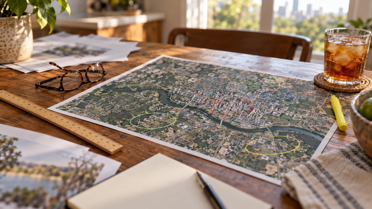 Generated illustration, not a real home or listing.
1. Building permits: what's being built, torn down or rewired nearby?
What it is: a City of Austin permit to build, demolish, remodel, or do electrical, plumbing or mechanical work.
Why it matters before you buy or rent: permits show change you'll see and hear. A lot that's been cleared for new homes means trucks for months. A remodel permit on the listing itself tells you what work was done with a permit, which matters when your inspector asks.
The Allandale example: within 800 meters of the guide's map point there were 781 construction permits issued in the past two years, including 39 new residential buildings (rollup generated Nov. 3, 2026). Inside the neighborhood's outline, the 24-month tally lists 150 demolition and teardown permits, 103 remodels, 11 new single-family homes, 4 new multifamily buildings and 5 ADUs.
Look up the house you're touring on the City's Austin Build + Connect permit search. Then compare what you find to what the seller says was renovated.
2. Site plans and zoning cases: what's been proposed?
What it is: a site plan is the City's development application for anything beyond a single house. A zoning case asks to change what a piece of land may be used for.
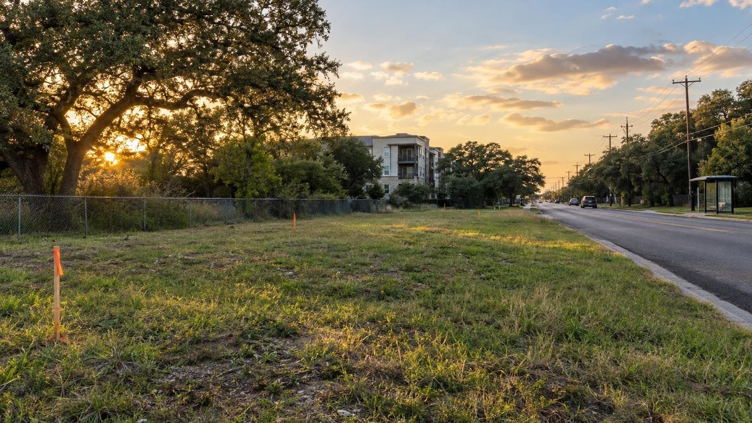
Why it matters: both come before construction, so they're your earliest warning. Allandale's guide shows 7 site plans and 3 zoning cases inside the area in the past 24 months. A site plan is a proposal. It isn't an approval and it isn't a finished building, so read the status line.
3. Development projects and state TDLR registrations
What it is: Zabalist groups related filings into one development project. The state's Texas Department of Licensing and Regulation (TDLR) requires a project registration for commercial and public construction over a cost threshold, for accessibility review.
Why it matters: a TDLR filing often lists an owner's cost estimate and planned start date months before anything shows up on site. Near the Allandale point: 149 development projects with activity and 3 TDLR registrations in the past 12 months. (This is how our Menchaca Road affordable-apartments story started.) You can search filings yourself on TDLR's TABS search.
4. Flood maps: which map, and what's been paid out?
What it is: FEMA's flood map is the one lenders and insurers use. The City of Austin also keeps its own modeled floodplain based on newer rainfall data (Atlas 14). OpenFEMA publishes flood-insurance claims by ZIP.
Why it matters: flood insurance can be required by your lender, and claim history shows where water has actually caused losses. For Allandale, the guide says 6.9% of homes fall in the City's modeled floodplain, and 14 National Flood Insurance Program claims were paid in ZIP 78757 in the past 10 years (186 since 1981).
A neighborhood figure isn't your house. Check the exact address on FEMA's Flood Map Service Center and ask the seller or landlord about past water damage. For recent storms and claims, see our Austin storms data page.
5. Soils and geology: will the ground move?
What it is: the USDA soil survey (SSURGO) maps shrink-swell soils, which expand when wet and shrink when dry. USGS geology shows what's underneath them.
Why it matters: expansive clay is common in Austin, and it moves foundations and slabs. Allandale's soil-survey coverage is 100% of homes. The guide is clear that a soil map is a starting point and a foundation inspection is the check for any one home.
6. Special districts: the tax line you didn't budget for
What it is: municipal utility districts (MUDs) and other special districts add their own property tax on top of county, city and school rates.
Why it matters: this shows up in your monthly payment. The Kyle example: the guide lists North Hays County MUD 2 covering 2.4% of homes in the area, at $0.2000 per $100 of value (2025 rate). Ask for the exact rates on any home; the listing's tax figure may not show the district separately.
 Generated illustration of a generic Hays County street, not a real home or listing.
7. Crashes and 311 requests: what's been reported on these streets?
What it is: City crash reports and 311 service requests (missed pickups, street lights, loose animals and the like).
Why it matters: they tell you what has been reported, not what a street is like. Near the Allandale point: 142 traffic crashes in three years (3 with a serious injury) and 902 311 requests in 12 months, most often for garbage (156). A 311 request records that something was reported. It doesn't confirm anything was wrong.
8. Code cases, licenses and inspections
What it is: City code-compliance cases, state TABC alcohol licenses, and health inspections of food businesses.
Why it matters: a new license can mean a new restaurant or bar nearby. ZIP 78757 had 8 new TABC licenses in 12 months and 768 code-compliance cases (an opened case isn't a confirmed violation). For restaurant inspection results, use our inspections lookup or the Coming Soon list of pending licenses.
What changes outside Austin city limits?
A lot. Kyle's guide says it plainly: the radius lies in Kyle city limits, and City of Austin permits, site plans, projects, crash reports, 311 and code cases don't cover it, so they're left out instead of shown as zero. What still shows there: 2 TDLR registrations in 12 months and 15 new TABC licenses in ZIP 78640. The City of Austin floodplain model doesn't cover Kyle either, so FEMA's map is your main flood source. One NFIP claim was paid in ZIP 78640 in 10 years (19 since 1998).
So if you're comparing Austin with Kyle, Buda, Round Rock or Pflugerville, a blank record layer usually means a different city keeps those records. It doesn't mean nothing happened. Ask that city's permit office.
What locals should know
- Read the window. "Past 2 years," "past 12 months" and "inside the outline" are different numbers. Don't add them together.
- Verify the site. A record 150 feet from a map point may not be next to your house. Click through to the original filing.
- Ask about the house itself. Permits on the property, flood history and HOA leasing rules are fair questions for a seller, landlord or agent.
- Use the ZIP view too. Some layers (code cases, TABC) count by ZIP. See the ZIP 78757 records page.
Where to find these records for any Austin home
Austin Local Team's tagline is "Find the home. See the records around it." Its home search covers homes for sale and for rent across Travis, Williamson, Hays, Bastrop and Caldwell counties, from Unlock MLS. As of Nov. 3, 2026, its neighborhood index lists more than 4,200 neighborhood guides built from MLS subdivision names and recorded plats (footprints are approximate), plus 132 in-depth neighborhood and City planning-area guides like Allandale and Kyle. No account is needed to search.
If you'd like a person to help:
- Renting? Plan an apartment search with a locator.
- Buying? Search homes with the records in view, or request a home shortlist.
- Selling? Request an agent-reviewed pricing analysis (a CMA, not an appraisal), or plan your home sale.
- Still choosing an area? Start with the free neighborhood checklist.
Again: Austin Local Team is our sister site, brokered by All City Real Estate, ltd. Co. (TREC #9003633). For what's happening around town this week, our Allandale neighborhood page and the earlier public-records walkthrough are good next reads.
FAQ
What public records should I check before buying a house in Austin?
Start with City of Austin building permits for the house itself, then site plans, zoning cases and TDLR registrations nearby, FEMA's flood map for the exact address, USDA soil data, and any MUD or special-district tax. Crash, 311 and code records show what has been reported nearby; they are counts, not conclusions.
Does a City of Austin floodplain map replace FEMA's flood map?
No. FEMA's map is what lenders and insurers use to decide whether flood insurance is required. The City's modeled floodplain uses newer rainfall data and can show areas outside FEMA's zone. Check both for the exact address, and ask about any past water damage.
Why are there no permits listed for homes in Kyle or other suburbs?
Because the City of Austin only records permits inside its jurisdiction. Kyle, Buda, Round Rock and other cities keep their own records. Austin Local Team's guides leave those City of Austin layers out instead of showing zero; state layers like TDLR registrations still appear.
Is Austin Local Team affiliated with ATX Things?
Yes. Austin Local Team is a sister site of Austin Texas Things and uses the same Zabalist public-records database. It is brokered by All City Real Estate, ltd. Co. (TREC #9003633); brokerage notices are on its about page.
We'll keep checking these filings. Follow @austintexasthings for what's been filed near you next.
Related Austin Data
More Austin Guides
Share this article