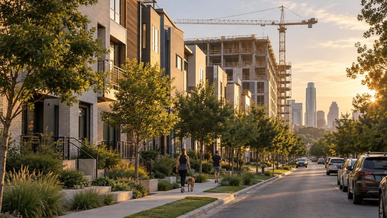
If you are about to rent or buy near South Congress or Zilker Park in Austin, Texas, the listing tells you about the house. Public records tell you what has been filed around it. According to ATX Things analysis of City of Austin records compiled by our sister site on September 29, 2026, the area within half a mile of one Travis Heights reference point logged 604 construction permits in two years. Around Zilker, the count was 904.
Neither number is good or bad. Each one is a list of documents you can open and read before you tour. Here is how to read them, layer by layer, using those two areas as worked examples.
Disclosure: Austin Local Team (austin.localteam.house) is a sister site of Austin Texas Things. It is a home search built on the same public-records database (Zabalist) this desk reports from. Austin Local Team is brokered by All City Real Estate, ltd. Co. (TREC #9003633). Every number below carries its source and the date we pulled it.
What does "within 800 meters" actually measure?
Austin Local Team's neighborhood pages count records within 800 meters (about half a mile) of a reference point, a map marker placed in the area. The marker is not a boundary. Travis Heights, for example, has no published City or Census outline of its own, so its page says plainly that its home search uses listings reporting ZIP 78704. Some layers, including alcohol licenses and code cases, are counted for the whole postal ZIP instead of the radius.
That gives you two rules to carry into every record below:
- A count describes a circle or a ZIP, never a house. It tells you what to ask about. It does not describe any home, block or person.
- Counts from different layers are never added together. A state registration and a City application often describe the same project.
What the records showed in Travis Heights and Zilker this week
Both rollups were generated September 29, 2026. Each window is shown in the table.
| Record layer (window) | Travis Heights point | Zilker point |
|---|---|---|
| Construction permits (past 2 years) | 604, incl. 10 new residential buildings | 904, incl. 48 new residential buildings |
| Development projects with activity (12 mo) | 162 | 201 |
| TDLR state project registrations (12 mo) | 10 | 7 |
| Food establishments inspected (12 mo) | 16 | 32 |
| 311 service requests (12 mo) | 1,224 | 2,302 |
| Traffic crashes (past 3 years) | 117 | 121 |
| Code cases, ZIP 78704 (12 mo) | 1,721 (whole ZIP) | 1,721 (whole ZIP) |
Sources: Austin Building Permits (sync Sep 26, 2026), Austin Site Plans and TABS State Projects (sync Sep 28, 2026), Austin 311, Traffic Crashes and Code Complaints (sync Sep 29, 2026), Austin Health Inspections (sync Sep 16, 2026), via the Travis Heights guide and the Zilker guide.
This is not a comparison of two places, and it should not be read as one. What it shows is a different mix of paperwork. Zilker's point sits inside more new residential construction: 48 new residential buildings against 10. That points a buyer or renter toward one set of questions: what is being built next door, and when does it finish? The same 311 table also shows how easily a count misleads. The most frequent 311 category within 800 meters of both points was "Parking Violation Enforcement": 793 requests near Zilker and 127 near Travis Heights. A 311 request records that someone reported something. It does not verify it.
A filing is a record, not a conclusion. Nothing here describes what an area is like to live in. It describes which documents exist, with dates, that you can go read yourself.
Why you should read the closest filings, not the total
Here is the most useful thing we found this week. On both pages, the five filings closest to the reference point all belong to a single new house. Near the Travis Heights point, they were the new-construction trade permits, a pool permit, a driveway permit and an irrigation permit for one 2-story home, all issued in 2026. Near Zilker, they were the pool, driveway and trade permits for one new home with a garage apartment.
One project, five records. That is how a permit count grows, and it is why reading the records beats counting them. When you look at a specific address, sort the nearby filings by distance, open the five closest, and ask: is this one project or five? Is it finished, active or expired?

What's been filed for bigger projects nearby?
A site plan is the City of Austin's development application for anything beyond a single house. It is a proposal, not an approval. Our own query of the Zabalist site_plans table (City of Austin data, synced Sep 26, 2026) found 74 site-plan cases on record within 800 meters of the Travis Heights point. Four had applications in the past 12 months, and all four propose commercial use along South Congress:
- 2105 South Congress: administrative site plan, applied Aug 21, 2026, status "CC Pending"
- 1612 South Congress: administrative site plan, applied Mar 16, 2026, "Awaiting Update" (plus a related D-permit case filed Dec 16, 2025)
- A Site Plan Commission case filed as "Connie's Last Stand": applied Jan 30, 2026, "Awaiting Update"
Around the Zilker point there are 118 site-plan cases on record. Only one had an application in the past 12 months: 1700 South Lamar, a mixed-use (residential/commercial) site plan applied May 5, 2026, status "Awaiting Update". Site plans also record the watershed they drain to. The Travis Heights cases list East Bouldin Creek, and the Zilker cases list West Bouldin Creek and Town Lake. That is a good bridge to the next layer.
"Awaiting Update" means the City is waiting on the applicant. It does not mean construction is imminent. Before connecting a filing to a home, open the case in the City's development services portal and check the actual site.
How do you read a flood zone before you tour?
This is where the address matters most. We ran both reference points through Austin Local Team's flood and geology lookup on September 29, 2026. Both points returned FEMA Zone X, "area of minimal flood hazard", map 48453C. The Travis Heights point sits on Austin Chalk. The Zilker point sits on the Eagle Ford Group and Buda Limestone, according to the USGS regional geology map.
Then we queried FEMA's National Flood Hazard Layer directly for everything within 800 meters (half a mile) of each point. Both circles also contain Zone AE polygons, which are FEMA's Special Flood Hazard Area, along with areas of 0.2 percent annual-chance flood hazard.
So a neighborhood-level reading tells you almost nothing about a specific lot. Run the lookup at the exact address, then open the effective map at the FEMA Map Service Center. A mapped zone is not a flood history, an insurance quote or an inspection. It is a reason to ask the seller or landlord about drainage and past water, and to ask your insurer about coverage.
Touring this week? Open-Meteo puts Austin's rain chances at 92% Thursday and 91% Friday (forecast pulled Sep 29, 2026), after highs near 95°F Wednesday. A rainy showing is a useful one: watch where water goes on the lot and the street. For creek conditions, our live Barton Creek flow tracker updates continuously.
Daily permit data from City of Austin
A 10-minute checklist for any Austin address
- Search the address, not the area. Area counts are context. Look for open permits that were never finalized.
- Read the five closest filings and group them by project.
- Check site plans and state registrations nearby, and confirm each project's actual site.
- Run the flood and geology lookup at the point, then check FEMA's effective map. Use USDA's Web Soil Survey for soils.
- Verify schools with the district for that exact address. A school name on a listing does not confirm enrollment.
- Bring the open questions to the seller, landlord or your agent.
Where to go next, depending on your move
Austin Local Team publishes neighborhood guides for more than 4,700 Austin-area subdivisions and neighborhoods across five counties, plus 132 in-depth area and City planning-area guides (counts verified on the live site Sept. 18, 2026; footprints are approximate). When we checked on Sept. 29, the subdivision-level guides were temporarily not loading. The area guides used above were working.
- Renting? Start an apartment locating request with your move date, base rent range and the places you need to reach. For houses and condos, see home rental help. Confirm fees and lease terms with each property.
- Buying? Take the five-question buyer planning quiz, or search homes with the records in view. No account is needed to search.
- Selling, or curious what your home might list for? Request a comparative market analysis reviewed by a local agent. It is not an appraisal or an automatic estimate. Or plan the steps before selling.
- Still choosing an area? Download the free moving-to-Austin neighborhood checklist.
What locals should know
- Every layer has its own sync date. TABC license data last synced Aug 8, 2026, while crashes and 311 synced Sep 29. Check the date before you rely on a number.
- Applications are proposals. "Registered," "in review" and "issued" are different stages, and a stated valuation is a filing amount, not a forecast.
- This builds on our earlier guide. For the full list of record layers, see the public records to look up before you tour. For what's been filed across the metro, see the September development report.
FAQ
How do I check if an Austin home is in a flood zone? Look up the exact address in FEMA's National Flood Hazard Layer through the FEMA Map Service Center, or use a point lookup that queries it. A neighborhood-level result is not enough: in our Sept. 29, 2026 check, both a Travis Heights and a Zilker reference point read Zone X, yet FEMA maps Zone AE within 800 meters (half a mile) of each.
Where can I see building permits near an Austin address? The City of Austin's development services portal carries permits and site plans, and the TDLR project search carries state construction registrations. Austin Local Team, a sister site of ATX Things, assembles those records within 800 meters of each listing's location, with a source and sync date on every count.
Why is the permit count near Zilker higher than near Travis Heights? In the two-year window ending Sept. 29, 2026, the Zilker point's radius included 48 new residential buildings versus 10. New houses generate several permits each (trade, pool, driveway), so counts grow fast. The number describes paperwork volume, not what either area is like.
Does Austin Local Team estimate home values? No. It does not produce automated valuations. Sellers and buyers can request a comparative market analysis reviewed by a local agent. A CMA supports a pricing conversation, and Texas rules distinguish it from an appraisal.
About the tool in this article. Austin Local Team is a sister site of Austin Texas Things: "Find the home. See the records around it." It is brokered by All City Real Estate, ltd. Co. (TREC #9003633). Its brokerage information page carries the TREC Information About Brokerage Services and the Consumer Protection Notice. Equal Housing Opportunity. Listings come from Unlock MLS as distributed by MLS GRID. Sources and coverage limits are documented on its data and coverage page. We found $63 million in Mueller filings the same way. Follow @austintexasthings for the next records dig.
Related Austin Data
More Austin Guides
Share this article