Listen to this story 7:45
Jump to a section
Read aloud by an AI voice (ElevenLabs) from the story on this page, which is the full transcript. Tables and maps are summarized in the audio.
Quick answer. Before you tour a home in Austin, Texas, look up its FEMA flood zone and the City of Austin's own floodplain map, because the two can differ. According to ATX Things, the mapped zone is a starting question, not a verdict: it describes an area, not the house, and a result of "unknown" is not the same as "low risk." Austin Local Team is a sister site of Austin Texas Things.
The City of Austin's Watershed Protection department says about 10% of land in the city is in the floodplain, and that every creek and lake has a floodplain "regardless of whether it is mapped or not." That second clause is the one to keep in your head while you scroll listings.
What does a FEMA flood zone actually mean?
FEMA marks flood hazard areas on its Flood Insurance Rate Map. The key term is the Special Flood Hazard Area, or SFHA: the area that would be covered by a flood with a 1-percent chance of being equaled or exceeded in any given year. That is the "100-year flood." It does not mean the flood comes once a century.
FEMA's glossary (last updated July 8, 2020) lists the labels you will see:
| Label on the map | FEMA's description | What to ask next |
|---|---|---|
| Zone A, AE, AH, AO and similar | Inside the Special Flood Hazard Area (1-percent annual chance) | Is there an elevation certificate? Is flood insurance required by a lender? |
| Zone X (shaded), or Zone B | Between the 1-percent flood and the 0.2-percent ("500-year") flood | Where does the building sit relative to the shaded edge? |
| Zone X (unshaded), or Zone C | Outside the SFHA, above the 0.2-percent flood elevation | What is the drainage like on the lot itself? |
A zone letter is a map category. It says nothing about the roof, the foundation, the slope of the yard or whether the previous owner ever had water inside.
Why can the city's map and FEMA's map disagree?
Because they answer slightly different questions. The City's Floodplain Management page says its current maps show where flooding is likely with 10.2 inches of rain in 24 hours. The National Weather Service finished a rainfall study for Texas in 2018, called Atlas 14, that found Central Texas getting heavier rain than earlier assumptions. The City says the updated maps will reflect almost 13 inches in some areas, an amount with a 1-percent chance of falling in any given year. The remapping is underway; the City points to ATXFloodplains.com for it.
Practical result: a house can look fine on one layer and different on another, and the layers are changing. Check both.
The City's tool is called FloodPro. Per the City, it shows whether an Austin property is in a floodplain, lets you find elevation certificates and research FEMA map change information, and prints a floodplain map. The Floodplain Office hotline is 512-974-2843 (City of Austin, as of Nov. 10, 2026).
How do you run the check on a specific address?
Austin Local Team, a sister site of Austin Texas Things, has a free home research tool that does the first step. It asks you to confirm an address match with the U.S. Census geocoder, then checks FEMA's National Flood Hazard Layer at that point and returns the reported zone, the subtype, whether it is in a Special Flood Hazard Area, and the map identifier. On a listing page it uses the location supplied with the listing instead.
Three details from the tool's own explanation are worth repeating:
- The point is approximate. A lot and a house occupy an area. The dot is not a surveyed boundary.
- "Unknown" stays unknown. If FEMA's service returns no polygon or is unavailable, the tool does not convert that to Zone X or a low-risk label.
- "Checked" is the lookup date, not the map date. It does not change the effective date of the flood map.
Run the lookup, then open FEMA's Map Service Center and the City's FloodPro for the same address. If the three do not line up, that is a question for the listing agent, an insurance agent or the Floodplain Office, not a reason to guess.
What can the map not tell you?
Quite a lot. Here is what to ask on the walk-through itself:
- Was there ever water in the house or garage? Ask the seller's agent directly, in writing, and ask for repair records.
- Is there an elevation certificate? FloodPro lists those the City has on file.
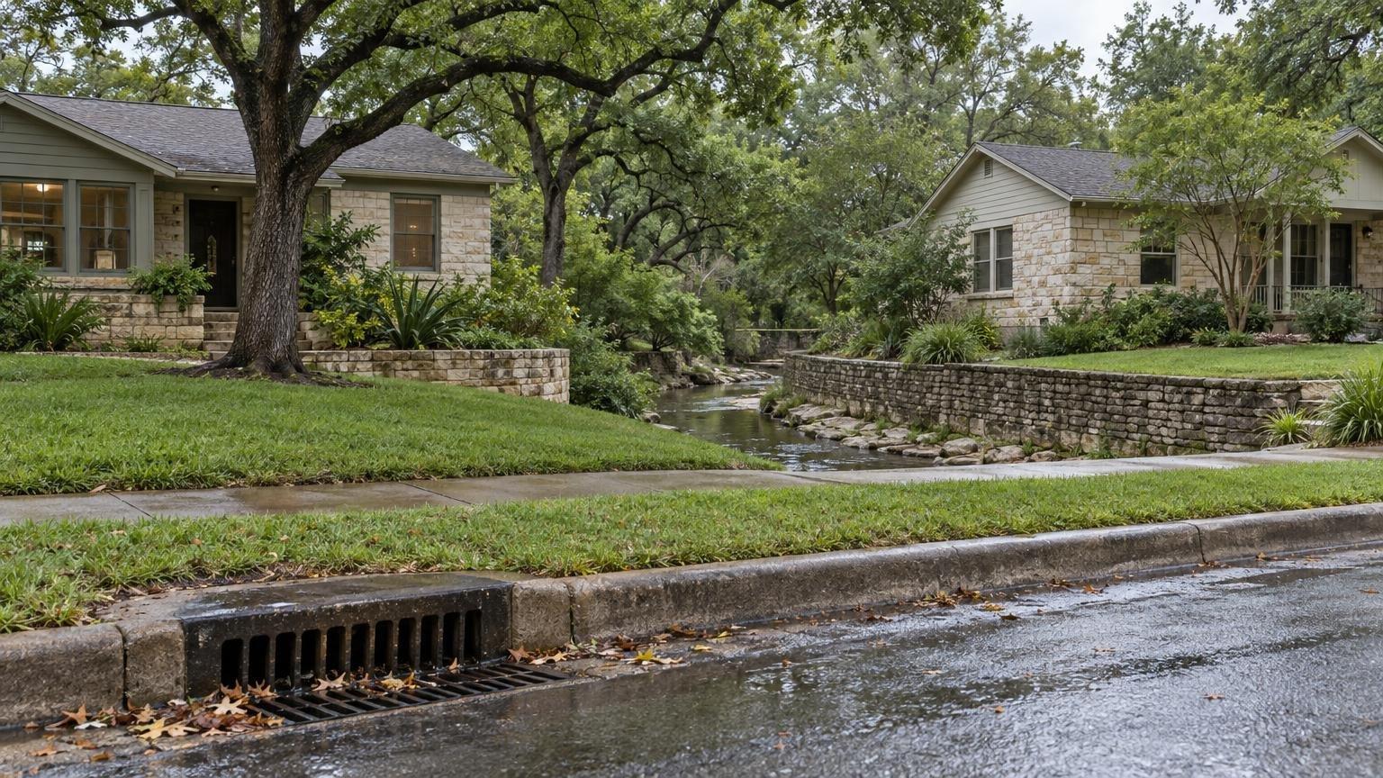
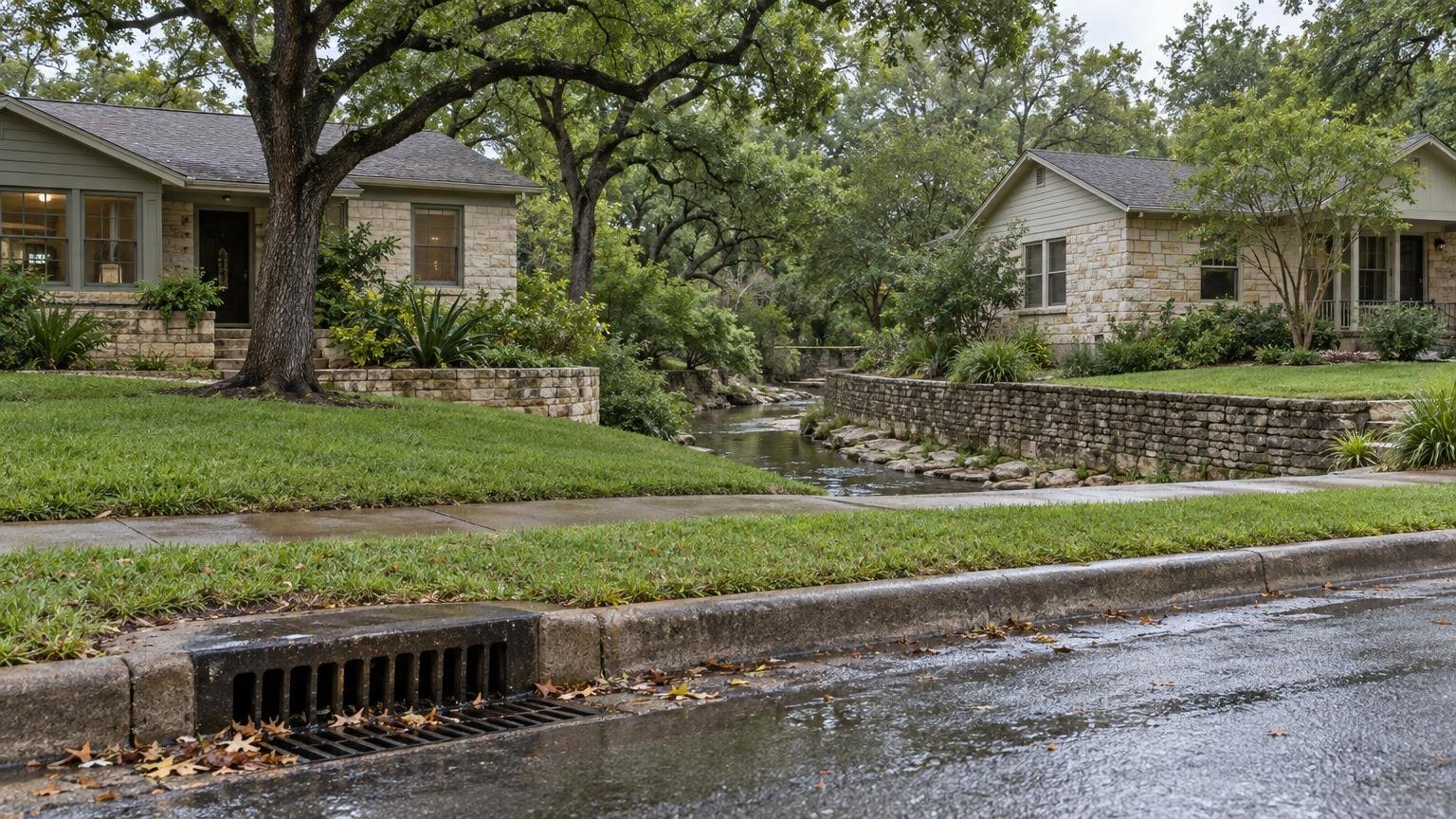
- Where does the water go? Look at the grade of the lot, the neighbors' drainage, and the nearest storm drain inlet.
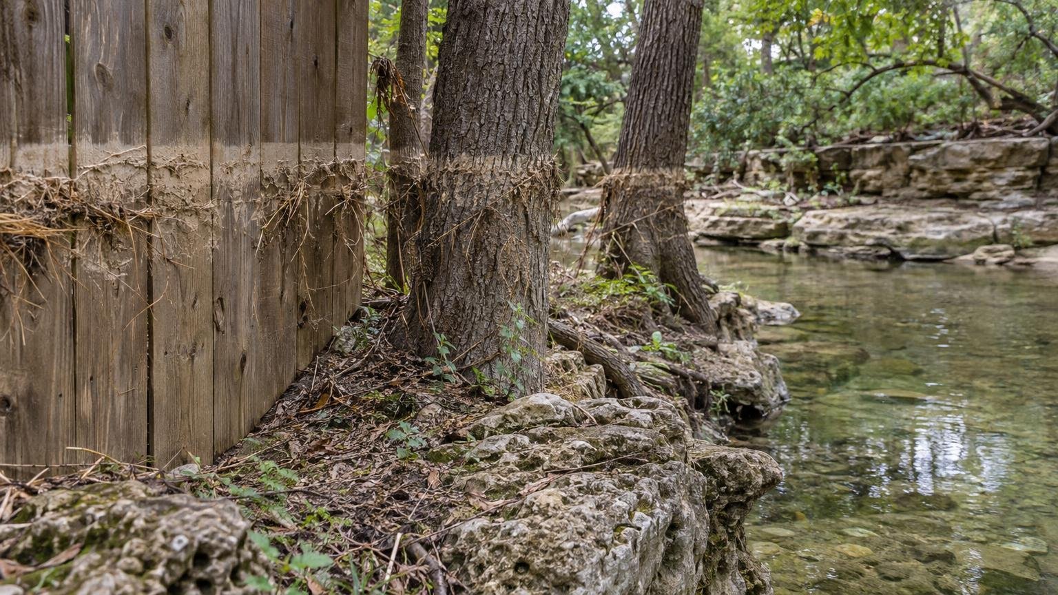
- Look for the line. A silt or debris line on fences, trees and walls shows where water has been before, whatever the map says.
- What would insurance cost? Get a quote before you make an offer, not after.
What do the claims numbers say?
Our own research database holds National Flood Insurance Program claims for Austin-area ZIP codes, by year of loss (FEMA OpenFEMA, source date June 1, 2026). It showed 5 claims for 2024 and 97 for 2025, with about $4.6 million paid on buildings in 2025. FEMA declared a disaster for severe storms, straight-line winds and flooding on July 6, 2025, a declaration that included Travis and Williamson counties (OpenFEMA declarations, source date Aug. 20, 2026).
Two cautions. Only insured properties appear, so a quiet year can still have been a damaging one for people without flood insurance. And this series cannot tell us how many of the 2025 claims came from the July storm, so we are not claiming it did. The full series is on our storms data page.
Do not read a neighborhood's name as a flood answer. Counts of claims or filings are area context. The only answer that applies to a particular house is the one you get from that address, its records and an inspection.
What should locals know before the next showing?
- Flood questions are a daytime, dry-weather task. Do them before you fall for a kitchen.
- The City's maps are being redrawn under Atlas 14, so ask when a property's map was last updated.
- Local Team does not produce automated valuations or price estimates, and nothing in its flood lookup is a risk score. It is a way to organize questions.
- Austin Local Team is operated by Smart Austin LLC and brokered by All City Real Estate, ltd. Co. (TREC #9003633). Its about page carries the TREC Information About Brokerage Services and Consumer Protection Notice. We have not visited any property for this piece, and no listing is discussed.
For more on reading the public records around a listing, see our earlier piece on eight records to read before you tour, and the Mueller permits piece for how development filings read.
FAQ
Is Zone X safe from flooding? No map category guarantees that. FEMA describes unshaded Zone X as minimal flood hazard, outside the 1-percent flood and above the 0.2-percent flood elevation. Flooding can still happen from local drainage, and the map is a point-in-time document.
Do I need flood insurance in Austin? A lender may require it if the property is in a Special Flood Hazard Area; ask yours. Whether you need it otherwise is a question for an insurance agent. Ask for a quote early.
What does a "100-year flood" mean? A flood with a 1-percent chance of being equaled or exceeded in any given year, per FEMA. It is a probability, not a schedule.
Where do I look up an Austin address? Start with the City's FloodPro and FEMA's Map Service Center, then Local Team's home research tool to see the FEMA layer alongside other records. Check that the address match is right before you rely on the result.
Who do I call with questions? The City's Floodplain Office hotline is 512-974-2843.
Related Austin Data
More Austin Guides
Share this article