Quick answer: Before you tour a house or apartment in Austin, Texas, pull the public records within half a mile of it: building permits, site plans, state project registrations, the FEMA flood zone, the soil survey, and 311 and crash logs. According to ATX Things analysis of two neighborhood pages on Oct. 13, 2026, where the house sits matters. Inside Austin city limits you get all of those layers. Cross into Pflugerville and the City of Austin layers stop, so you have to know where else to look.
Austin Local Team is a sister site of Austin Texas Things. Both sites draw on the same Zabalist public-records database. Austin Local Team is brokered by All City Real Estate, ltd. Co. (TREC #9003633). Its About page links the TREC Information About Brokerage Services and the Consumer Protection Notice.
A listing tells you about the house. The records tell you what's been filed around it: the duplex permit two doors down, the site plan for the shopping center at the end of the street, how much of the ground is clay that swells when it rains. That's the stuff you want to know before you fall for the porch.
This guide uses two real neighborhood pages from Austin Local Team as worked examples. Its tagline is "Find the home. See the records around it." We picked one neighborhood inside the city and one outside it, because that boundary changes what you can find. Every count below is a count of public filings, not a conclusion about a home, a street or the people who live there.
What public records can you check before touring an Austin home?
Here's what the record layers on a Local Team neighborhood page (checked Oct. 13, 2026) tell you, and why each one matters before you buy or sign a lease.
| Record layer | What it tells you | Why it matters before you tour |
|---|---|---|
| Building permits | New homes, teardowns, ADUs, remodels, trade work | Construction next door, plus the permit history you should ask the seller about |
| Site plans | City applications for anything bigger than one house | Apartments, retail or a car wash proposed nearby. A site plan is a proposal, not an approval |
| TDLR registrations | State filings for commercial and public construction over a cost threshold | Big nearby projects that sometimes surface here before any announcement |
| FEMA flood zone | Whether the area is in the 1% annual-chance floodplain | Lenders require flood insurance there, and it affects your monthly cost |
| USDA soils | Share of homes on highly expansive clay | A question for your foundation inspector, not an answer |
| 311 and crash logs | What neighbors reported and where crashes were recorded | Counts of reports, not verified problems or judgments |
| Special districts (MUDs) | Extra property-tax districts on top of city, county and school rates | Changes your real tax bill, especially in the suburbs |
Local Team runs these layers across the five-county search (Travis, Williamson, Hays, Bastrop and Caldwell). As of Oct. 13, 2026, its neighborhoods directory says it has 4,291 neighborhood guides in the live catalog (built from MLS subdivision names and recorded plats, with approximate footprints) plus 89 City and Census areas with published boundaries.
Worked example 1: what do the records show around Crestview?
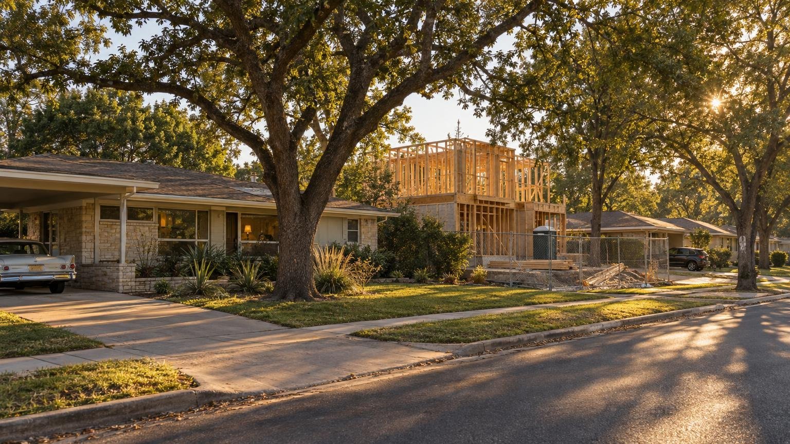
Crestview's guide is inside Austin city limits, so every layer is filled in. Its rollup (generated Oct. 13, 2026, within 800 m, or about half a mile, of the page's reference point) shows:
- 997 construction permits issued in the past two years, including 70 new residential buildings
- 186 development projects with activity in the past 12 months, and 0 TDLR registrations
- 41 traffic crashes recorded in three years (0 fatal, 1 with a serious injury)
- 1,098 311 requests in 12 months. The most common type was "Garbage" (245), then parking enforcement (176)
The area-wide layer adds more. 0% of homes are in FEMA's 1% annual-chance floodplain, 2.9% sit on highly expansive clay, and no MUD covers the area. Inside the outline, the last 24 months brought 99 demolitions or teardowns, 14 new single-family homes, 12 ADUs and 33 remodels.
The 99 teardowns are the useful number here. If you're touring a 1950s ranch house, the record says the lots around it are changing. Ask what's permitted next door before you assume the view stays the same.
One lesson from the "nearest records" list: the four closest filings were all for one new house. Each trade (plumbing, electrical, mechanical) gets its own permit. So four records can mean one project. Count projects, not rows.
What's been filed in Crestview's ZIP this year?
We ran our own check of the Zabalist site_plans table (City of Austin data, synced Oct. 13, 2026). ZIP 78757 had 12 site-plan filings covering 9 projects in the past 12 months. All were commercial or civic. Among them:
- Northcross Mall Redevelopment, 2525 W. Anderson Lane (filed Feb. 17, 2026; awaiting update)
- Austin Subaru car wash, 8100 Burnet Road (Apr. 22; pending)
- Shoal Creek–Northwest Park dam rehabilitation, 7000 Ardath St. (May 26 and 28; revisions to an approved site plan)
- Cullen Apartments, 2013 Cullen Ave. (Aug. 19; an apartment building)
- Busy B Batting Cages remodel, 2627 Buell Ave. (July 29; in review)
None of these shows up on a listing sheet, and all of them are a short drive from the houses people are touring this fall. If you're comparing streets around Crestview, our ZIP 78757 page shows the same permit and project feeds live. Urban Egg, which opened on Burnet Road on Oct. 12, appears in the license layer too: TABC issued its mixed-beverage permit July 16.
Look up any permit number on the City's Austin Build + Connect public search. The record shows the scope, status and inspection history, which is the follow-up question for any house with a recent remodel.
Worked example 2: why does Pflugerville's page leave layers out?
Pflugerville's guide is the useful contrast. Its 800 m radius is entirely inside Pflugerville city limits. So building permits, site plans, development projects, crash reports, 311 requests and code cases, all City of Austin datasets, are left out rather than shown as zero. The page says so directly: "That is a coverage statement, not evidence that nothing is planned."
That's the trap for suburban buyers. An empty permit map doesn't mean nothing is happening. It means the City of Austin doesn't keep records there. The layers that do cross the city line are where the information is (all checked Oct. 13, 2026):
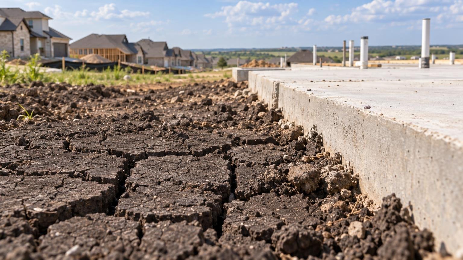
- Soil: 51.3% of homes in the area sit on highly expansive clay, compared with 2.9% in Crestview. The page's own advice: "a foundation inspection is the check for any one home."
- Special districts: 13.6% of homes are inside a MUD or similar district. Travis County MUD 15, for example, covers 7.7% of homes at $0.2646 per $100 (2025 rate).
- Flood: 0.5% of homes are in FEMA's 1% floodplain, and 4 NFIP claims were paid in ZIP 78660 in the past 10 years.
- Development: 46 city development cases on file over three years, and 10 active TxDOT projects crossing the area.
The state layer also works here. In our own Zabalist copy of TDLR's registry (synced Oct. 13, 2026), 93 projects list Pflugerville as their city since Oct. 13, 2025. They include the Texas Facilities Commission's Pflugerville State Office Building ($40 million, registered Mar. 4, 2026), Kelly Lane Phase 3 ($40 million, Jan. 15), Pflugerville Business Park ($37 million, May 12) and a $60 million renovation at 130 Crossing, Building 8 (Aug. 13). One of those records lists a $529.9 million amenity center with a ZIP code that doesn't match the city. Public records contain typos, so we left it out. You should be just as skeptical.
Outside Austin city limits, go to the source. Ask the City of Pflugerville (or the city or county that covers your address) for permits, and use TDLR's project search for the state layer. The sister site's address research tool checks FEMA flood and USGS geology for one address. It calls the result "a research prompt, not an inspection."
How do you check one specific address?
Area numbers describe a neighborhood, not your house. The flood status of one home depends on where it sits on the lot. Here's the routine we'd follow before a tour:
- Open the neighborhood or ZIP guide and note which layers are filled in and which say "not covered."
- Read the 5 nearest filings and group them by project (one house can generate four permits).
- Run the address on the FEMA Map Service Center. The zone your lender uses comes from there.
- Check special districts before you compare monthly costs. A MUD rate is in addition to city, county and school taxes.
- Ask the seller or landlord about any permit at the address itself: what it covered, and whether it was finaled.
- Bring the soil number to your inspector as a question, not as a verdict.
What locals should know
- Renting? The same records apply. A site plan for apartments next door affects a 12-month lease too. Local Team's apartment locating request offers "a conversation, not a complete live apartment inventory."
- Buying? Search homes for sale across five counties at Local Team's home search. No account is needed to search. The buying guide walks through building a shortlist.
- Selling, or curious what yours would list for? The home value request is a comparative market analysis reviewed by a local agent, with "no automatic price estimate." The page says a CMA "is not an appraisal, a guaranteed sale price or a promise of what a lender will accept." The selling page covers listing agreements.
- Want it on paper? Thirteen Austin field guides come with free fillable workbooks, "no signup."
- Comparing areas? Our own Austin storm and flood-claims data, internet coverage table and moving-to-Austin migration data answer the questions a listing doesn't.
Earlier worked examples in this series: Hyde Park's public records and Travis Heights and Zilker.
FAQ
Are Austin building permits public? Yes. City of Austin permits are public through Austin Build + Connect and the City's open-data portal. Austin Local Team and ATX Things both read them from the Zabalist database. Suburban cities like Pflugerville keep their own records, which is why a City of Austin permit map shows nothing there. That doesn't mean nothing was filed.
What does 800 m mean on a neighborhood page? It's a half-mile radius around the page's reference point, a map marker rather than a boundary. Permits, site plans, TDLR registrations, crashes and 311 requests are counted inside it. Alcohol licenses and code cases are counted by ZIP code instead.
Does a high 311 or crash count mean an area has problems? No. A 311 request records that someone reported something, like a missed garbage pickup. A crash count is a count of reports. Neither one is a verdict on a street or its residents, so treat them as questions to look into.
How do I know if a house is in a flood zone? Area pages show the share of homes in FEMA's 1% annual-chance floodplain, but one home's status depends on its exact position. Look up the address on FEMA's Map Service Center and ask your lender which map they use.
Is Austin Local Team connected to ATX Things? Yes. It's a sister site, built on the same Zabalist public-records database, and brokered by All City Real Estate, ltd. Co. (TREC #9003633). We say so every time we mention it.
We'll keep watching the Northcross and Cullen Avenue filings. Follow @austintexasthings for the next step.
Related Austin Data
More Austin Guides
Share this article